Route 66 sign on the road

Photo Map of US Historic Route 66

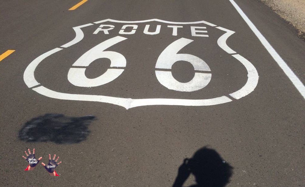
Here is the map of US Historic Route 66, from Chicago, Illinois, to Santa Monica, California, with photos on it, placed exactly where they were taken.

Zoom in a map and click a photo to see it in full size or get directions to the place.

I started my trip from the closest to Chicago Walmart where I bought everything I needed including the bike. Instead of missing photos of first 40 miles, I marked the place where Route 66 starts in Chicago and drew it to Joliet, where I joined it.

Some places like Grand Canyon are not on Route 66 but are accessible and not far from it.


Lena Faber used to work as a journalist at a mainstream Russian newspaper, wrote books for a major publishing house, and directed her original concept on TV. In 2009, she moved to South Africa, taught at the university, took up running, and earned a silver medal at the World Masters Athletic Championship in California and, in the meantime, won an international photo contest with following up solo exhibition. In 2014 she "shut the door" and gone hiking the Appalachian Trail, cycling from Chicago to LA (US Route 66), from Maine to Florida, from London to Orkney, etc. Now in MidCoast, Maine.

Leave a comment

This site uses Akismet to reduce spam. Learn how your comment data is processed.